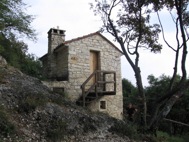
Distanza: 7 Km
Dislivello: 300 metri
Percorrenza: 2 H a piedi , 1 H in MTB.
Consigliato: camminata, MTB.
Vedi mappa: www.gpsies.com
Descrizione:
Ring route starting from the farm.
The itinerary is easily downloadable on your phone with the GPS feature guides you on the route.
It can be walked on (recommended anticlockwise) or by bicycle with quite demanding descent trails (recommended clockwise).
Panoramic route with views over the plain and the prealps.


